
Professional Drone Services You Can Trust

High-precision aerial data collection, analysis, and managed drone operations for
enterprise and public-sector projects.

Proudly Veteran Owned & Built On Core Values

We combine military discipline, rigorous safety practices, and advanced drone technology to deliver actionable aerial intelligence. Our teams operate under strict compliance, ensuring reliable, repeatable results on every mission.

CORE CAPABILITIES

FAA-Certified Pilots

Licensed remote pilots trained in complex airspace and BVLOS procedures.

Enterprise Data Workflows

Secure transfer, cloud processing, and client-ready reports.

Rapid Deployment

Regional teams able to mobilize within 24–72 hours.

Custom Analytics

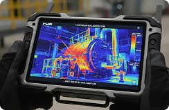
3D models, orthomosaics, thermal mapping, and AI object detection.
Professional Unmanned Solutions For Your Enterprise

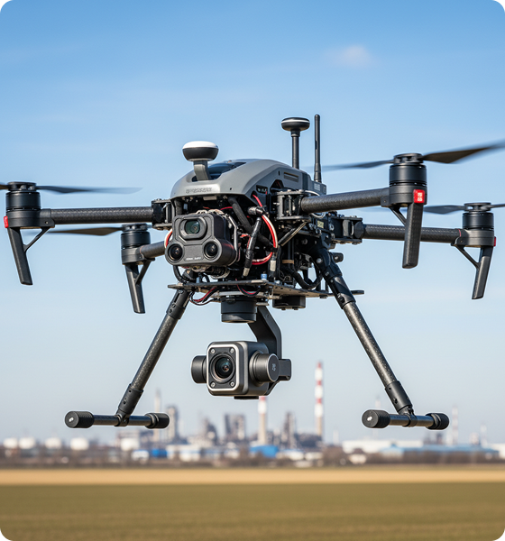
We utilize industrial-grade UAS payloads to capture crisp, actionable imagery and robust survey datasets.

Aerial Mapping & Surveying

High-accuracy orthomosaics, digital elevation models, and topographic surveys for engineering and construction.

Inspections & Asset Management

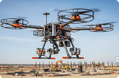
Non-destructive visual and thermal inspections for infrastructure, utilities, and industrial assets.

Public Safety & Emergency Response

Rapid aerial situational awareness, search operations, and incident mapping for first responders.

Real Estate Development

Capture stunning aerial imagery and progress updates to showcase developments, attract investors, and support project marketing.

Business Marketing

Create high-impact aerial photos and videos that elevate your brand and help your business stand out from the competition.

Construction Progress & Site Monitoring

Weekly site capture, 3D progress models, and progress comparison reports.

Long-range BVLOS Operations

Beyond-visual-line-of-sight missions using redundant systems and approved risk mitigations.

Environmental & Conservation Monitoring

Wildlife surveys, habitat monitoring, and environmental compliance mapping.

Why Clients Choose Prewitt Drone Service

Why Clients Choose Our Drone Services

Providing Strategic Data Across Critical Sectors

Energy & Utilities

Oil, Gas & Petrochemical

Construction & Engineering

Transportation & Infrastructure

Insurance & Claims

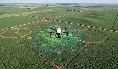
Agriculture & Forestry

Public Safety & Government

Real Estate & Development
Our Operational Flight Process

Plan

Site assessment, SOW, and airspace coordination.

Execute

 FAA-compliant flights by certified pilots with redundant systems.

Process

Secure upload, automated photogrammetry, and analytics.

Deliver

Client-ready maps, reports, models, and integrations.

Featured Projects In Action

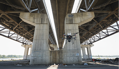
Bridge Structural Inspection — Midwestern Interstate

High-resolution imaging and thermal analysis reduced inspection time by 60%.

Coastal Erosion Monitoring — Gulf Region

Monthly orthomosaics and elevation modeling for regulatory compliance.

Solar Array Survey — Utility-Scale Farm

Thermal and visual inspections identified hot spots and module failures.

Enterprise Technology Built For High-Precision Work

We field robust, calibrated commercial platforms ensuring flawless flight performance.

What Partners Say About Our Precision

“Reliable, accurate, and delivered on time — their reporting transformed our inspection program.”

— Operations Lead

Utility Company

“Fast mobilization and professional pilots; the data quality was outstanding.”

— Program Manager,

Construction Firm

“Clear communication and top-tier compliance processes.”

— City Emergency Manager

Safety & Airspace Compliance Is Our Highest Priority

Part 107 & waivers where required

Comprehensive risk assessments (COA, LOA coordination)

Insured operations and documented SOPs

Real-time airspace monitoring and NOTAM management
Latest Industry Intelligence

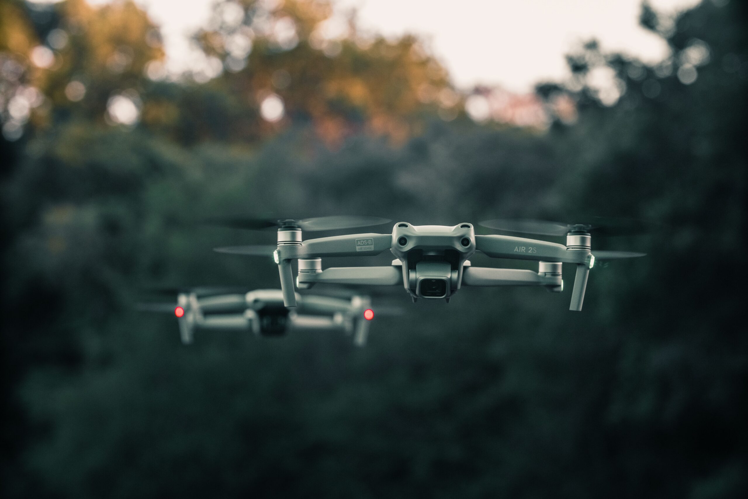
Introduction  Drones are moving from experimental tools to practical business assets. Advances in sensors, artificial intelligence, autonomous navigation, and lightweight […]

Frequently Asked Questions

What permits do you handle?

We manage all required FAA approvals, airspace coordination, and local permits as part of the service.

How long until we receive project data?

Typical delivery is 24–72 hours for imagery; processed models and analyses depend on scope.

Are you insured?

Yes — commercial liability and hull coverage for all operations.

Can you operate at night or BVLOS?

Yes, where permitted — with appropriate waivers and additional safety mitigations.

How do you protect my data?

Encrypted transfer and storage, SOC-compliant processes, and role-based access.

Need Professional Drone Services?

Let our team design a safe, cost-effective program for your mission. Get a free project consultation today.

Scroll to Top